



Bridging Research and Policy: GreenEsteem at the EU Knowledge Valorisation Event
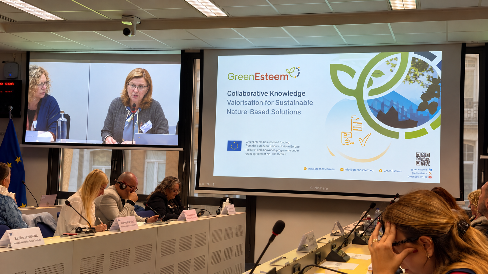
On 8 October 2026, the GreenEsteem project participated in “Knowledge Valorisation in Action: from Results to Policy”, an event organised by the European Research Executive Age
Brining Living Labs to Life: Community-Driven Spaces in Konin
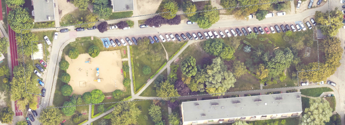
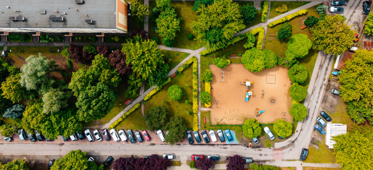
Legionów Street, Konin Living Lab: GreenEsteem selected this green space as a key site for analysis, redesign, and the implementation of Nature-Based Solutions (NBS) in Konin, Pol
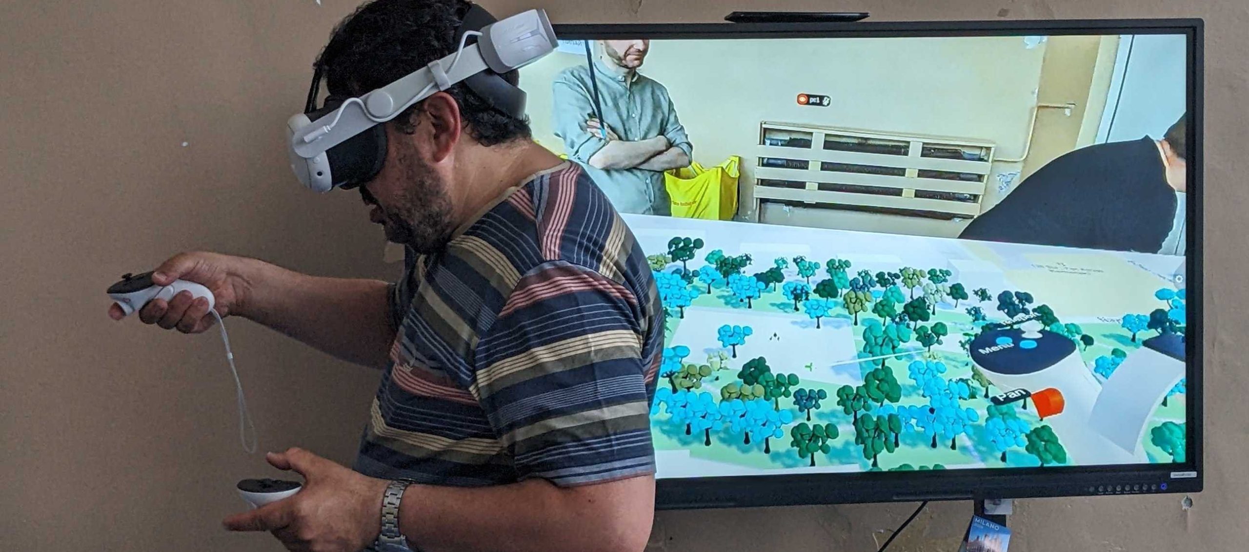
Citizen Engagement and Collaborative Design in Sofia
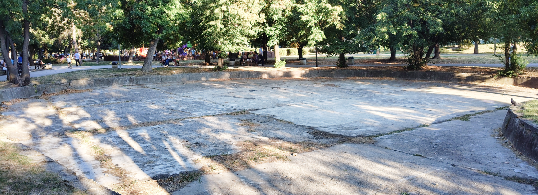
Sofia, Bulgaria, is a city with a wealth of parks and green spaces in residential neighbourhoods. However, despite an existing green infrastructure, many green spaces are not well
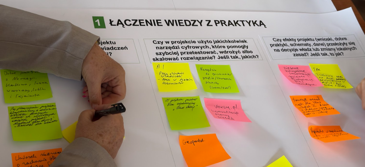
From Sticky Notes to Strategy: GreenEsteem Launches Co-Evaluation Workshops in Konin
Urban spaces are constantly evolving, but making sure these transformations meet local environmental, societal, and economic needs requires actionable and shared knowledge. One of
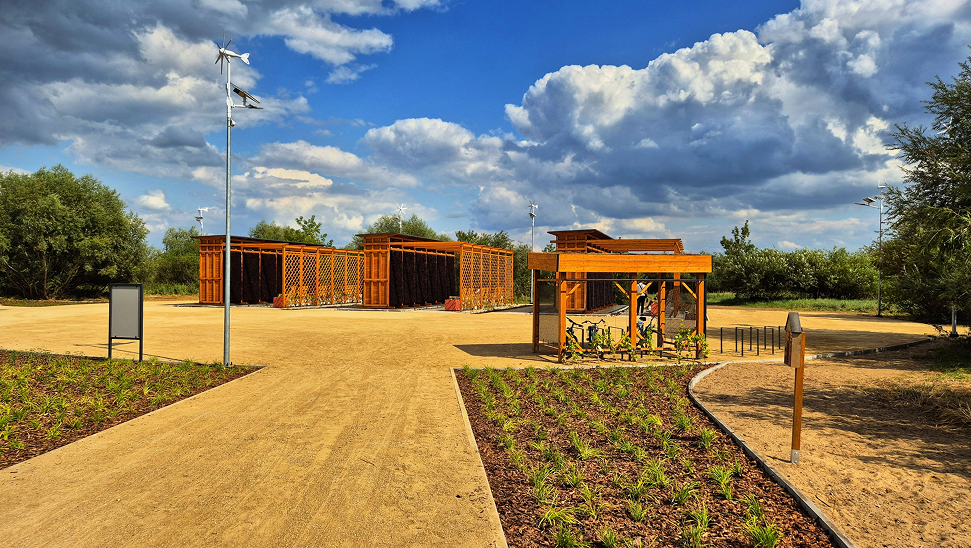
GreenEsteem Living Lab in Konin, Poland: A City in Transition
About Konin: Konin, a post-industrial city in central Poland, is the third largest city in the Greater Poland Voivodeship, home to around 66,000 residents. Since 2020, the city h
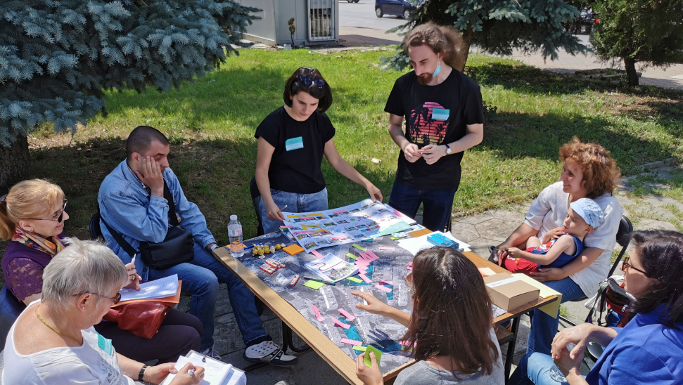
Living Lab Sofia: The Reality on the Ground
As part of the Green Esteem project, Team Sofia and UACEG will work on the ground to co-design and co-deliver a ‘Living Lab’ in a neighbourhood of Sofia. Working with municipal